Wednesday, December 16, 2020

Excitement building

I'm excited. I love winter weather, and this will be one of the largest snowstorms we've seen in Connecticut in the past few years. Here is a quick update on what we can expect.

Timing

Start time: Between 5:00 p.m. and 6:00 p.m. today (Wednesday). The NAM (shown below) has the first flakes falling in Connecticut at around 6:00 p.m., while the HRRR is much earlier, with early flakes falling before 5:00 p.m.

(Tropical Tidbits)

Heaviest snow: Between 11:00 p.m. and midnight tonight (Wednesday).  The HREF ensemble mean shows 1-hr snowfall rates exceeding 2.5 inches per hour close to midnight tonight.

(NWS SPC)

Probabilistically, there is roughly a 90% chance that snowfall rates will be greater than 2 inches this evening, based on the higher resolution models. That is a very heavy snowfall rate.

Ending: Between 9:00 a.m. and 11:00 a.m. tomorrow morning (Thursday). Snow will gradually taper off from west to east tomorrow morning, making for a messy a.m. commute. I would be shocked if schools can open for in-person learning tomorrow.

(Tropical Tidbits)

Precipitation type

This storm will basically be an all-snow event, although there may be some mixing, especially in more coastal areas (see the pink in the map below).

(NWS SPC)

If rain or sleet does fall, which may happen in southeastern Connecticut, snow totals there will be limited slightly.

Snow Totals

Here is what the National Weather Service in Boston thinks for storm totals:

(NWS Boston)

Snowfall totals in the 10-20 inch range seem very likely, though some lucky areas may see over 2 feet.

Impacts

With the sheer amount of snow we'll be seeing, travel will be very challenging, especially tomorrow morning.

Wind gusts will exceed 40 mph at times during the storm which could cause power outages, though I don't expect any widespread outages.

Here is a look at the NWS Weather Prediction Center's winter storm severity index (WSSI).

(NWS WPC)

The index, which considers ice accumulation, blowing snow, snow amount, flash freezing, snow load, and ground blizzards, places a good chunk of CT in the "major impacts" category. This category means: "Extensive property damage likely, life saving actions needed. Will likely result in major disruptions to daily life."

Buckle up - this will be an exciting major winter storm. I'll be sure to get outside tomorrow and share photos of what I see in my area.

Tuesday, December 15, 2020

Looking at past major snowfall events

With excitement for this week's winter storm growing, I wanted to take a look back at past major snowfall events in Connecticut to see where this storm could stack up. Here is what the National Weather Service forecast office in New York is thinking for snow totals for this storm:

(NWS New York)

And here's the forecast map from the National Weather Service in Boston.

(NWS Boston)

As a whole, we seem to be looking at storm totals in the 10-18 inch range, with the bulk of it falling Wednesday night into Thursday. Now how would this storm compare to past storms in CT?

Here are maximum 1-Day total snowfalls for the Hartford area for the month of December:

(NOAA Regional Climate Centers/xmACIS)

I don't think this will be a record setting December storm, but we could be looking at a top-10 December snowstorm, with 1-Day snowfall totals around a foot. And for all months, the following image shows the top 10 1-Day snowfalls for the Hartford area. If this storm takes a slightly northerly track, we could be looking at a top 10 all time storm for the Hartford area.

(NOAA Regional Climate Centers/xmACIS)

If we conduct a similar analysis for Bridgeport, we can see that this storm will certainly be a top 10 December snowstorm, if not a record breaking one.

(NOAA Regional Climate Centers/xmACIS)

Bridgeport tends to see warmer winter weather than Hartford and many of its storms tend to have some mixing involved, often leading to smaller snowfall events there than at Hartford. This storm looks to have Bridgeport right in the center of the storm track, potentially producing record setting one day snowfall in both December (shown above) and for any month (shown below)

(NOAA Regional Climate Centers/xmACIS)

I vividly remember the 2013 event that produced the single greatest one day snowfall at Bridgeport. This early February storm brought 40 inches of snow to Hamden, CT, effectively shutting down the state for a few days. While we certainly won't see a storm like that one this week, it'll be exciting to finally see a true New England winter storm after experiencing a dearth of them over the past few years.

Monday, December 14, 2020

Update on Wednesday Storm

Things are still on track for a major snowstorm to impact the region this Wednesday through Thursday.

We're seeing a small wintery tease today, with a mix of sleet, rain, and snow, but this batch of precipitation will be rather inconsequential, amounting to maybe an inch or two of snow at higher elevations.

The main action for the week comes Wednesday afternoon, when an area of low pressure will track along the Atlantic Coast. Here is where things stand:

Timing

The first impacts of the storm will be felt on Wednesday afternoon, as the area of low pressure moves north up the Atlantic Coast.

(Tropical Tidbits)

The brunt of snow will fall overnight on Wednesday, before the storm moves out to sea by late  Thursday morning, with snow gradually tapering off in western areas first.

(Tropical Tidbits)

Conditions

As shown in the above figures, during the storm there will be a high located to our north in Canada as well as northerly winds that will deliver the cold air needed to produce wintery weather. This will cause the storm to be an all-snow event, with maybe some areas along the shore seeing some mixing.

(Tropical Tidbits)

The blue lines in the above figure are contour lines that show where temperatures will be below 32 °F.

Strong winds with gusts approaching 40 mph are possible, especially in coastal areas, though the exact wind speeds will depend on the strength of the low when it reaches our region.

(Tropical Tidbits)

These winds could cause blizzard conditions and power outages for some.

Snowfall totals

While major models are in agreement that we will see snowfall this week, the Euro and GFS have both been disagreeing on the track of the storm, leading to discrepancies about total snowfall accumulations that we'll see. The GFS has taken the more southerly track, with heavier accumulations in New Jersey and Pennsylvania.

(Tropical Tidbits)

The European model, on the other hand, has been consistent on the storm taking a more northern track, with significant probabilities of seeing more than 6 inches of snow.

(WeatherBELL)

I favor the EURO a bit more, and I think that there's a very solid chance we'll see more than 8 inches of snow. As the storm approaches, we'll have more certainty about this. 


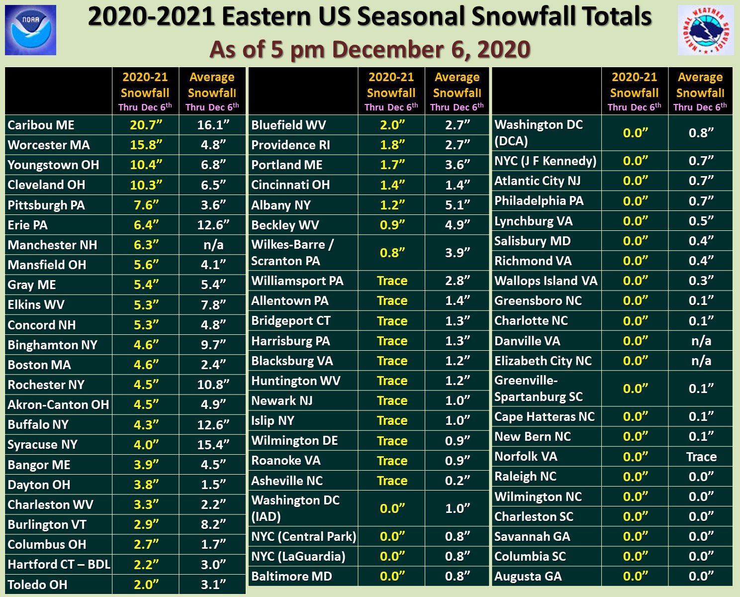
It'll be exciting to see our first true snowstorm of the season this week, though it'll be interesting to see what track it takes and what the impacts are. Much of the east has seen less than normal snowfall so far this year, and the snow that we see this week will likely change that.

(NWS Eastern Region)

Update 5:12 p.m.

The National Weather Service has released it's first snow maps, and here is what the organization is thinking.

(NWS Boston)


Saturday, December 12, 2020

Wintery weather in the upcoming week

Things will turn quite wintry here in southern New England for the upcoming work week, with two chances for snow and cold temperatures. 

The first chance for snow that we're watching out for will be on Monday, as low pressure makes its way up the Atlantic coast.

(Pivotal Weather)

The operational GFS model has trended more and more towards some moderate accumulations of snow for Monday, especially near the shoreline. Expect that round of snow to occur in the afternoon to evening hours, with shoreline areas seeing a mix of snow and inland areas seeing greater chances for an all-snow event. Here is what the GFS thinks for Monday, with a 10:1 snow-to-liquid ratio. I do think some of these snow totals will be a bit overblown due to this being a fairly warm winter weather event, but there is moisture that will give some accumulating precipitation.

Total accumulated snowfall though Monday night (Pivotal Weather)

After Monday's event, we'll see a break in the action with cold temperatures and high pressure for Tuesday.

By mid-day Wednesday, another low pressure system will make its way northward, and with this one, there will be abundant cold air in place and sufficient moisture to produce a significant winter storm. This one has the makings for plenty of precipitation, as you have the cold air form the high to our north, as well as the moisture from the low to off the coast of New Jersey.

(Pivotal Weather)

There was plenty of hype about this storm earlier this week because ensembles and operational models were in agreement pretty early on. I did not buy in so early, but now confidence is increasing that we may see more than 6 inches of snow.

Just for fun, here is a map showing the GFS total snow accumulations from now through next Thursday morning. I'll take the under on this one, but we should expect some accumulating snow in the upcoming week.

Total accumulated snowfall through Thursday morning (Pivotal Weather)


Thursday, December 10, 2020

Alleviation of the Drought

The latest drought monitor has been released by the National Drought Mitigation Center, and it looks like we have finally begun to alleviate the drought that has plagued New England for much of the summer and fall.

Current northeast drought monitor (National Drought Mitigation Center)

After the frequent heavy rains that we have seen this fall (and especially last weekend), much of western New England has finally achieved abnormally dry conditions or gotten to the "None" category on the drought monitor. The only parts of New England that are still experiencing a moderate drought are in Northern New England, and one small portion of far southeast New Hampshire is still in a severe drought.

If we compare the above map to what we were seeing just about two months ago, we can see how much the drought conditions have changed in such a short time.

Northeast drought monitor for October 6 (National Drought Mitigation Center)

On October 6, many areas were experiencing an "Extreme Drought" and now much of New England does not even have drought conditions. And fortunately for those areas that are still unusually dry, the Centers for Climate Prediction (CPC) 6-10 and 8-14 day precipitation outlooks (shown below) show a continued wet trend over the next two weeks. I would suspect that in a few weeks the Northeast drought monitor will show even less color than it does now.


6-10 day precipitation outlook (NOAA/CPC)


8-14 day precipitation outlook (NOAA/CPC)

While the lessening of the drought has been successful here in New England, the same can not be said of much of the country.

Current U.S. drought monitor (National Drought Mitigation Center)

Currently, much of the Southwest is experiencing an Exceptional Drought, as has been the case for much of the fall. And unfortunately, as the above precipitation outlooks show, while the Pacific Northwest will be wet over the next two weeks, areas in the Southwest that need water most will see continued aridity.

Tuesday, December 8, 2020

BTV November 2020 Recap

I've been late to get to this post due to the storm over the weekend (which underperformed in spots but was spot on in other areas - especially east), so here's my look at the weather for November 2020 at Burlington International Airport (BTV).

Temperatures

As has been the case for the year as a whole, temperatures were much above normal this month. The mean monthly temperature at BTV was 43.3 °F, when normal is 38.2 °F, giving a departure from normal of 5.1 °F. That is a huge contrast from November 2020, when the mean monthly temperature was 33.0 °F. That is astounding! This month as a whole averaged 10 °F warmer than the same month last year!

BTV November 2020 temperature graph (NOAA Regional Climate Centers/xmACIS)

The high average temperature this November at BTV was largely due to the stretch of 8 days when the high temperature was greater than or equal to 60 °F (see the temperature graph above). Though we did have multiple days in the 70s, we fell shy of setting a November temperature record, as the record is 75 °F, set in both 1950 and 1948.

The low for the month was 18 °F, reached on both the 18th and 19th. Overall, November 2020 came in as the 3rd warmest month on record at BTV.

Precipitation

We saw 2.08 inches of precipitation this November, when the normal value is 3.13 in., giving a depature from normal of -1.05 inches.


BTV November 2020 precipitation graph (NOAA Regional Climate Centers/xmACIS)

As the above precipitation graph shows, the beginning of the month started very dry, with some marginal increases in rain as the month progressed. Like in CT this November, the total monthly precipitation was bolstered by the heavy rain on the last day of the month, when we saw 0.67 inches of rain. 

As the image below shows, this November ranked in the 32nd percentile for wettest years on record, so it was a fairly normal year, though on the drier side.

(Southeast Regional Climate Centers)

Snow

As for snow, we saw 2.7 inches this month, when normal is 5.1 inches. That doesn't have any real implications for what this winter's snowfall will look like, though it's always exciting to get the first snow of the year.

Looking at the Mount Mansfield snow stake, we are well below normal for snow depth at the state's highest peak right now.

Mount Mansfield Snow Depth (SkiVt-L/UVM)

That has been difficult for VT ski areas that typically look to open in November, but things should look to change - climatologically, we'll get colder and see more snow as we progress into December.

Saturday, December 5, 2020

Storm Update

Good morning! Things are on track for a heavy storm throughout New England today, that will bring widespread rain for most and some abundant snowfall for some. 

Here is a current look at radar from the National Weather Service (NWS). Notice the heavy band of precipitation that extends from southwest CT to northwest Massachusetts.


Right now we're looking at all rain in southern New England, but that changeover will happen soon, as temperatures drop.

This storm will be extremely elevation dependent, with some hill towns in Connecticut seeing up to a foot of snow, while valley locations and locations near the shoreline that will see a later changeover to snow may see little to now snow. This will be a heavy, wet snow, and conditions will be windy, so expect some possible power outages. Here is what the NWS Northeast Region is thinking for total snow:


Notice the abundance of snow east of the Connecticut river, while areas west will not see nearly as much. This will be an exciting storm!