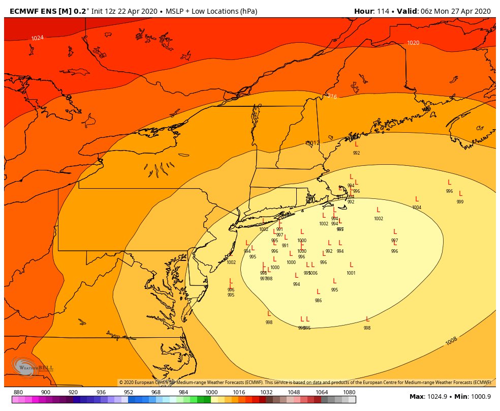
We can see that a low pressure system will be tracking of the Connecticut and Rhode Island coastline, an ideal track for a big wintertime snow storm.
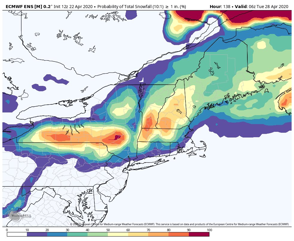
This map snows the probabilities of areas receiving greater than or equal to 1 inch of snow. We can see that the Northern Berkshires and Southern Vermont are favored here.

And lastly, here's a look at accumulated snowfall through Tuesday, assuming a 10:1 snow ratio. I think these totals may be overdone in spots given how late it is in the season (I'm thinking climatologically here), but we can't rule out the possibility for some snow piling up in parts of New England this weekend. We'll have to wait and see!
No comments:
Post a Comment